
Day 24
Being in the military, I’m lucky enough to work with people from all over the country who have a wide range of backgrounds. Most career fields are small enough that even as people transfer from base to base, the longer you stay in and progress through the ranks, the more people you know and work with. One of my coworkers who I had known from a previous base has parents who own a ranch resort deep in the Rockies, and because I had known him for years, he was able to put in a good word for me. Despite the ranch still being closed for the season, his parents were going to let me spend the night in one of their cabins. Unfortunately, throughout the day before I kept hearing reports of a snowstorm that would be pushing through the area over night. Not wanting to be trapped in, I chose to change my plans and sent the ranch an email to say I wouldn’t be coming.
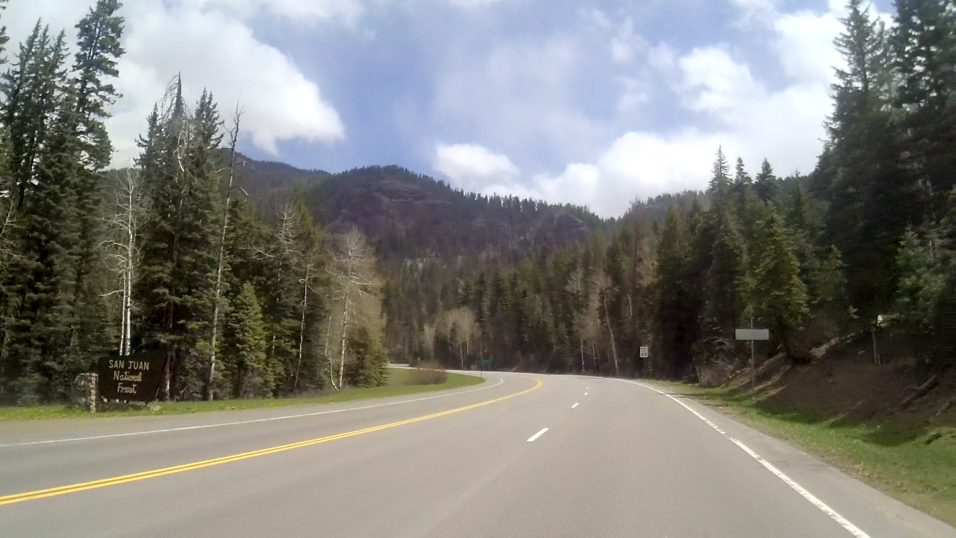
I climbed higher as I passed into the forest and saw another national park sign, one for the San Juan National Forest. The sign had a vintage look, a classic 60’s design. I hadn’t noticed it with any of the other unknown numbers of park signs I had seen since leaving home, but maybe the events of the previous day had affected me. The National Park system, in the way that we know it today, was created in the 50’s/60’s. As was the interstate highway network. And the airline industry. And nearly every aspect of our “modern” civilization. Then I realized that, unlike the generations before, the only thing my generation can give to society is the Internet. But we’re still physical beings living in a physical world, and no amount of digital interaction can replace that.
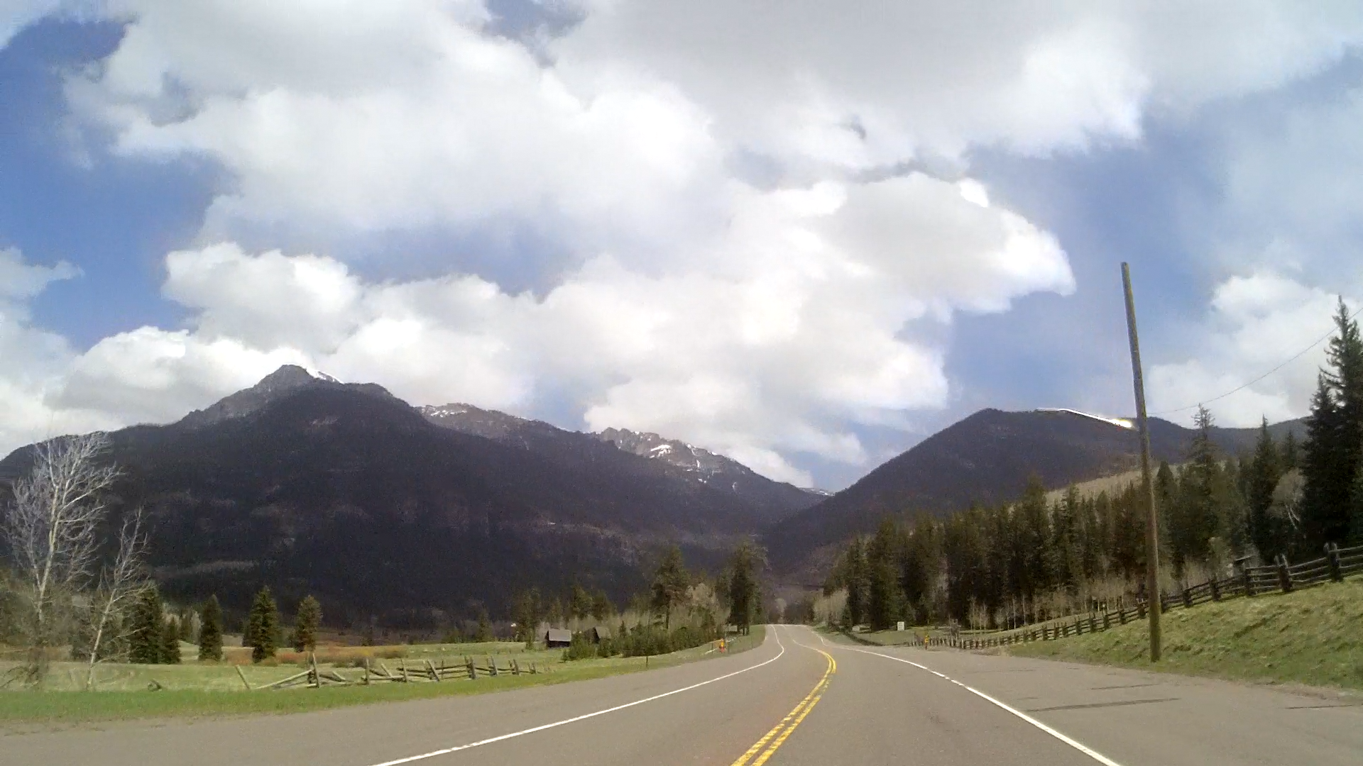
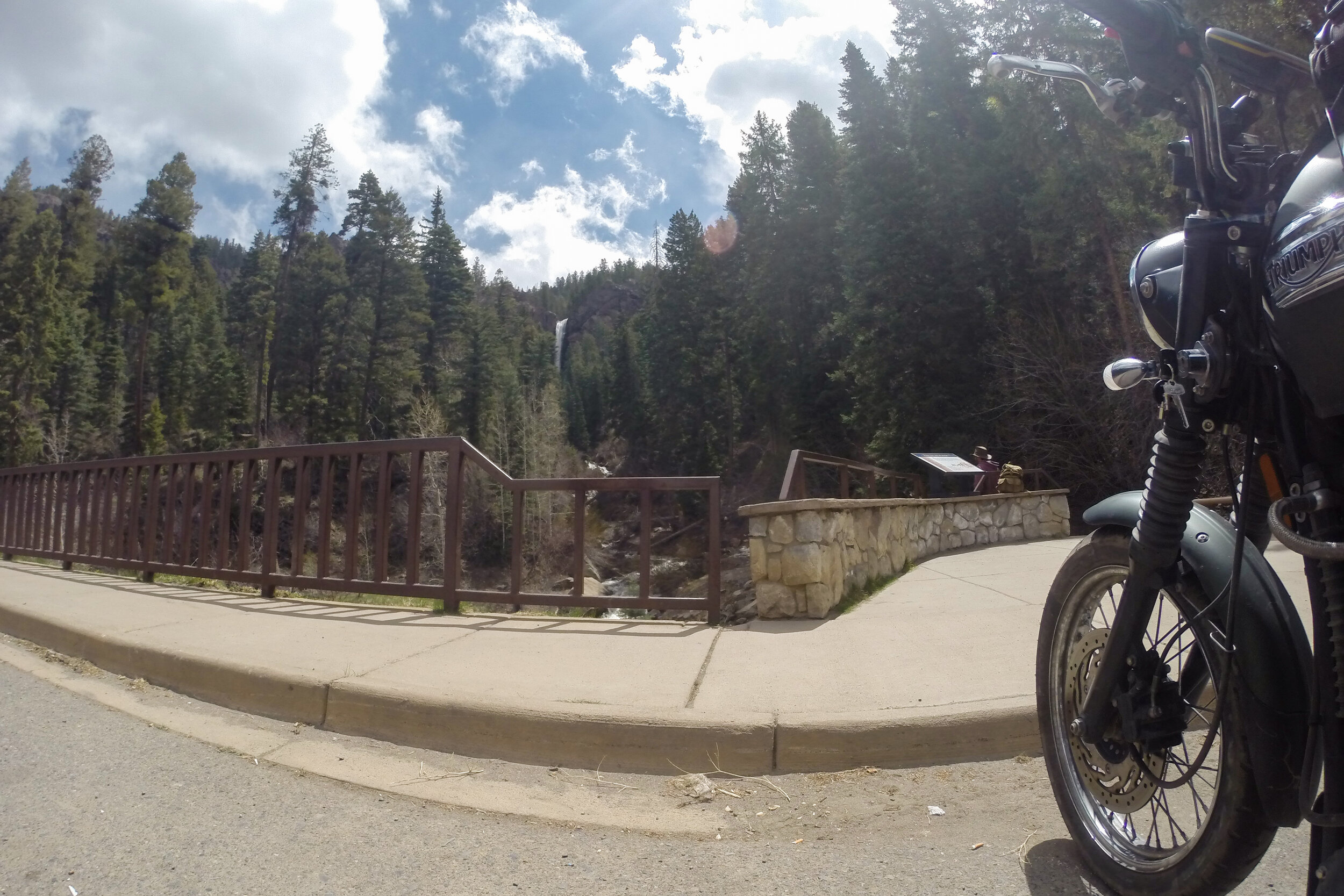
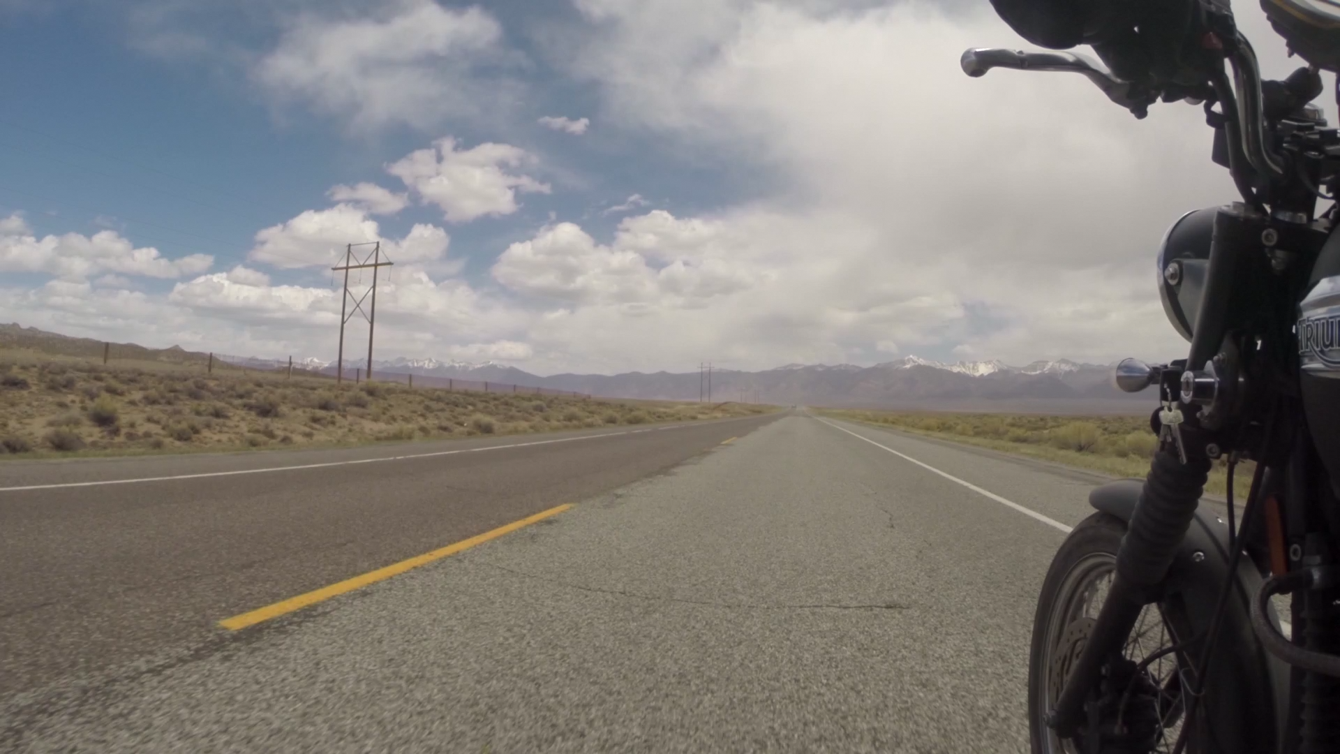
The altimeter on my GPS kept ticking higher and at a scenic pull off I stopped to look at a waterfall. After a couple moment’s rest, I straddled the bike once more. In the distance, high up on the side of a mountain, I saw what looked like a semi-truck parked on an overlook and I wondered what road that was. I set off and a few miles later, as I passed another crazy cyclist, the road switched back on itself and quickly climbed even higher until it reached the overlook that truck was at. I didn’t stop, instead continuing on.
I had been at 9000 feet at other points on the trip, but only barely. Now, I watched as the GPS reached 9500 feet, 9600, 97, and kept going higher. Then the altimeter display blanked out on me. Apparently the GPS couldn’t display altitudes above 10,000 feet. But then again, why would it? How often do people reach this elevation? This was the altitude where airplanes turned off the seatbelt light to allow movement through the cabin. Still, for a top-of-the-line Garmin device designed to do everything, I had expected more. In my head, I tried to do the math to figure out how much air the bike's 865cc engine was consuming, but I quickly realized I didn't know the formulas for it.

Several miles later, I fell below the magic elevation, and continued my descent. At some point, I realized I could focus a little better than I had before. Having been to Air Force altitude chambers several times in my career, I realized I had experienced a bit of hypoxia. But my training had been at 25,000 feet, where the symptoms are more pronounced and appear faster. At roughly 11,000 feet it was a lot harder to discern.
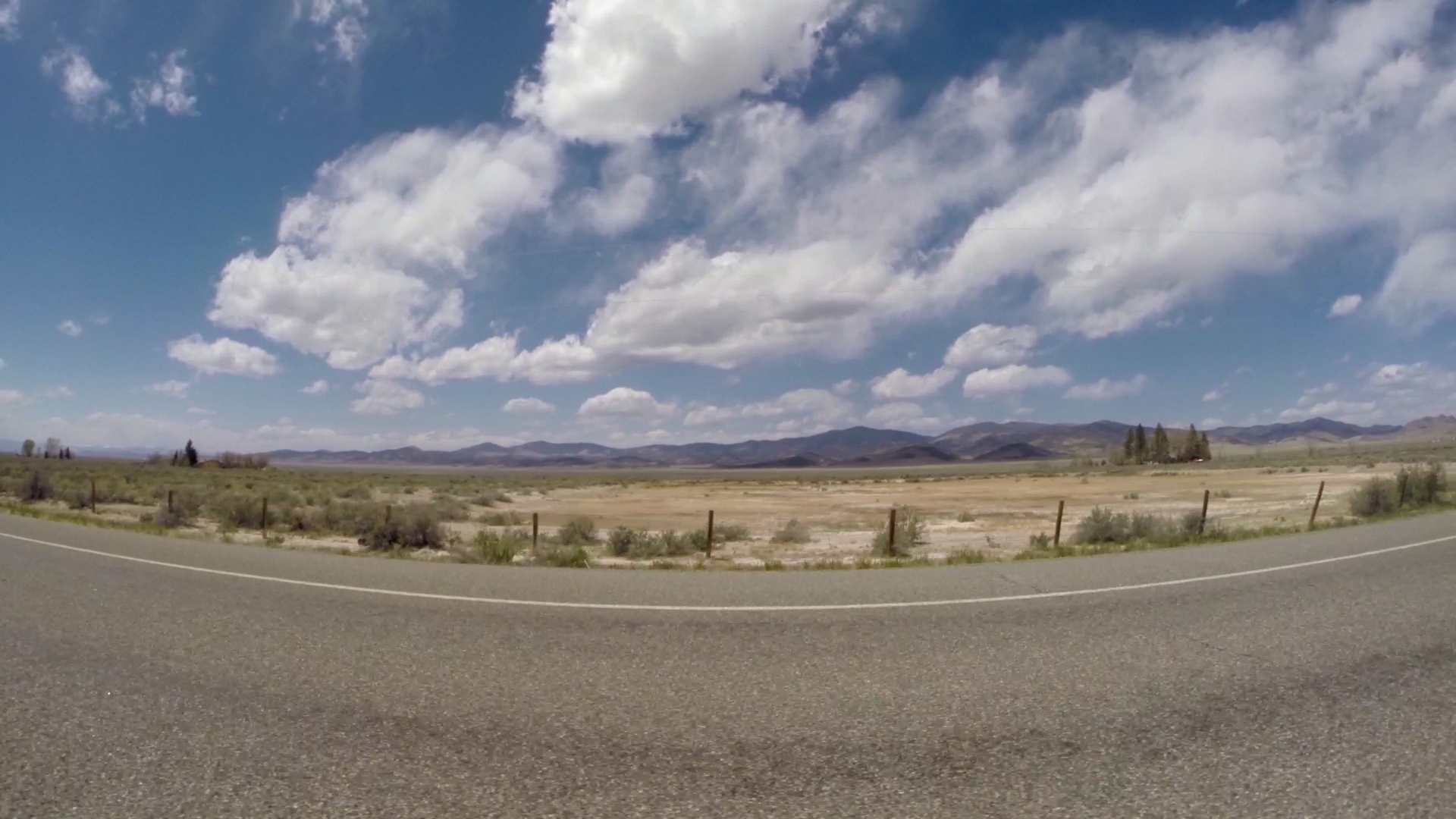
I came down into a flat plain and the road, now free of the mountains, straightened as it went north. A layer of clouds moved slowly overhead, growing darker as I rode on, and I could see rain falling in sheets to the northeast. I adjusted the view on my GPS to look further ahead on my route. I’d be making a turn towards the storm in a few miles, and I wondered if I’d be rained on. Since shipping my camping gear home, my cooler had become a place for souvenirs and other miscellaneous things. While claiming to keep ice for 24 hours on a hundred degree day it wasn’t waterproof, and there was now something I had bought that I didn’t want wet. I took my chances, constantly comparing the route with what I could see of the rain, and somehow I managed to skirt around the edge of the shower without a drop landing on me.
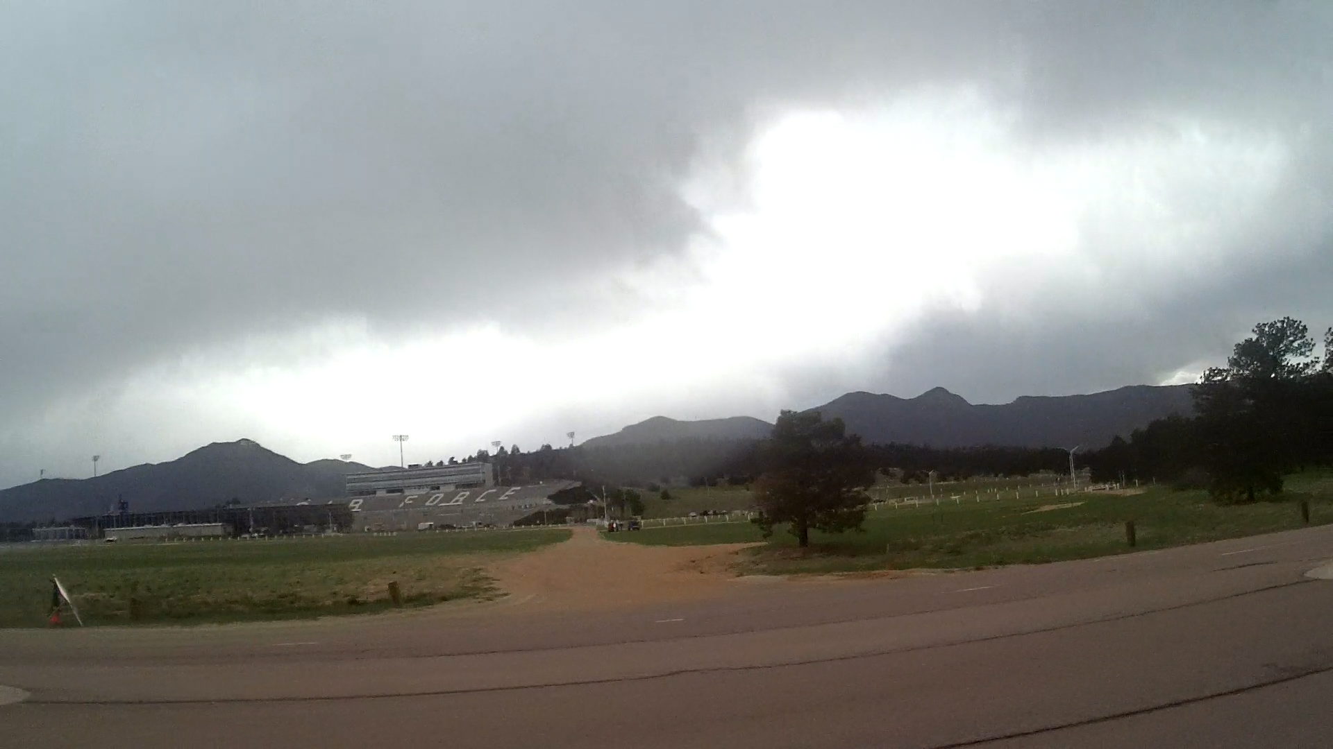
As I made my way into Colorado Springs, the sky to the west was dark with rain, and I was glad I had made the choice to spend the night at a lower altitude and in a more accessible area. Both of which meant the odds of ice on the morning’s roads would be low. I followed the signs to the Air Force Academy, and as I presented my ID card to the guard at the gate, he asked what the orange device with blinking lights strapped to my chest was. Confused for a moment, I realized he meant my Spot tracker and told him it was a GPS locator beacon. “It looked suspicious, with the wires coming from it” he said before clearing me through. I put the bike in gear and drove off, before adjusting my mirror to look at the Spot. The charging cable for my helmet cam had gotten wrapped around the device. I laughed. Suspicious indeed.
I checked into the inn, offloaded the bike, and finally made my way to the base’s Burger King. I placed my order, and sat down with my food. There was a group of cadets a couple of tables over, and I couldn’t stop thinking about how young they looked. But then I realized they were young, somewhere between 18 and 22, and kids like this would be my peer group while in pilot training. If the Air Force would ever give me orders, that is. After nearly 6 months without word on a future class date, a part of me felt like being here at the Academy now would be the closest I’d ever get to a commissioning program. I headed back to the room, suddenly depressed.